Hjertestien in Fasterholt
Route description: The path is 1.5 km long and gravel-covered. The elevation gain is approximately 30 meters from the parking lot to the top. You start at the parking lot, from where you can walk the route in either direction.
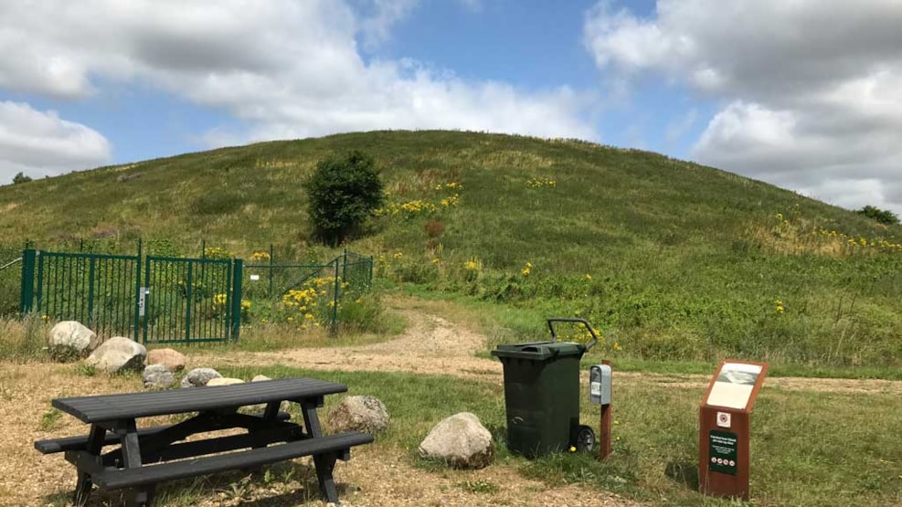
AFLD Hill
You are now in the northwestern part of the Søby Brown Coal Mining Area. At the top, you reach one of the highest points in Herning Municipality, approximately 83 meters above sea level, and from the summit, you can see all the way to the sculpture Elia in Herning – 11 km away. The path rises because it is built over the old landfill site. Waste was deposited here from 1980 until 2009, when the landfill was closed, and no waste has been deposited in Fasterholt since then.
Along the path, you will find information boards providing more details about the area and AFLD’s work in recycling and managing all the waste that is thrown away. The path was created in collaboration with AFLD and Herning Municipality.